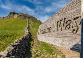
The Pennine Way

About the Trail
- Start: Edale, Derbyshire
- End: Kirk Yetholm, Scottish Borders
- Length: 268 miles (431 km)
Steeped in history and traversing spectacular landscapes, the iconic Pennine Way stretches for 268 miles (431 km) across England’s wild northern uplands.
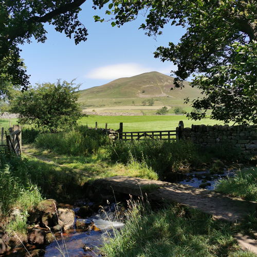
The route follows England’s rocky spine from the hills of the Derbyshire Peak District and the Yorkshire Dales, through the stunning Swaledale Valley, across the North Pennines and over Hadrian’s Wall in Northumberland to the Cheviot Hills, ending in the Scottish Borders in Kirk Yetholm.
There are route descriptions in the Further Information section of this website.
The Pennine Way was the first National Trail in England and is one of the UK’s most famous long-distance walks. Opened on 24th April 1965, it paved the way for public access to some of England’s wildest landscapes.
With a combined ascent that exceeds the height of Mount Everest, the Pennine Way is arguably the most challenging National Trail in England and the route is recommended for experienced walkers who want a unique experience – but you don’t have to walk it all at once!
The Pennine Way is hilly and often remote. The terrain is varied: in some places the paths are smooth and firm but in others the path may be narrow and uneven or wet and boggy. It’s best to take waterproofs and plenty of dry socks.
To really make the most of your trip, schedule a rest day at places such as Hebden Bridge, Skipton, Hawes, Appleby or the Hadrian’s Wall area and spend some time exploring.
The best months to walk the Pennine Way are from mid-May to September when the weather is usually better. However, the Trail can be walked all year round. Expect snow on the northern sections in winter months.